Our firm serves the City of Houston, various municipalities, Harris County, and private sector projects, delivering high-quality solutions customized to meet each client's unique needs.
Equipped with state-of-the-art CAD workstations featuring AutoCAD Civil 3D and Microstation/GEOPAK, we leverage advanced design and surveying software to enhance our capabilities. Our commitment to precision is bolstered by cutting-edge field surveying equipment, including Trimble Robotic Total Stations, Leica Digital Levels, and GPS technology.
About JAG Engineering
Under John’s leadership, JAG ENGINEERING blends extensive expertise with innovative technology, ensuring successful project outcomes and fostering long-term relationships with our clients.
Founded in July 2007 by John Guajardo, JAG ENGINEERING, Inc. has established itself as a trusted provider of professional civil engineering and land surveying services in the Houston area.
Publications and Presentations:
- “Side-Channel Weir Detention Computer Analysis” ASCE
- Proceedings of the Spring 1998 Texas Section Meeting.
- “Managing Drainage in an Urban Area” ASCE
Professional Organizations
- American Society of Civil Engineers (ASCE)
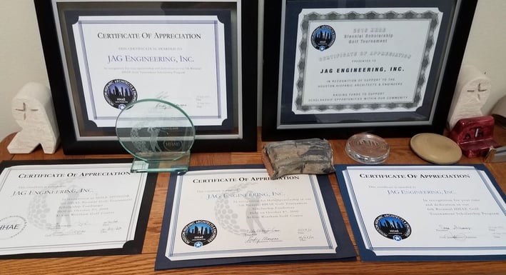
- Houston Hispanic Architects and Engineers (HHAE)
Civil Engineering and Surveying Expert John Guajardo has over 35 years of professional experience in civil engineering and land surveying, with a focus on public works, highway/transportation, and land development projects in the Houston area. He has excelled in various roles, including project manager, project engineer, and project surveyor, successfully overseeing a diverse range of projects. At JAG Engineering, he currently manages professional land surveying initiatives, which encompass boundary surveys, title surveys, right-of-way mapping, topographic surveys, route surveys, and utility location. Mr. Guajardo has a proven track record of delivering complex surveying projects for the City of Houston’s Capital Improvement Program, consistently meeting deadlines and staying within budget. A comprehensive list of these successful projects is available on the PWE 100 form for Surveying.


John Guajardo, P.E., R.P.L.S.
Credentials
- Bachelor of science in civil engineering. '85 Texas A&M Univ./Structural
- Master of science in civil engineering. '97 University of Houston/Civil Engineering/ Hydrology & Hyydraulics
- Texas Reg. #68800 Dec. 1990/Civil Engineering
- Texas R.P.L.S., #5945 1/01/07
- Certified HUB for the State of Texas
- Certified Small Business for METRO
- Certified DBE
- Pre-certified with TxDOT
Founder and Owner
Areas of Expertise
- Transportation and roadway designs
- Utility design and relocations
- Traffic Engineering
- Site development
- Hydraulic analysis
- Land surveying