Global Positioning System (GPS) Surveying
Horizontal & Vert. Control for Aerial Mapping
Monumentation
Design & Topographic Surveys ( 2D and 3D )
Preparation of Digital Terrain Model (DTM) and integrated plan & profile with Civil3D
Platting/Re-Platting Class 1, 2, & 3
Land, Easement, & Right-of-Way Surveys
Right-of-Way Mapping, Parcel Plats, right-of-way acquisitions, and Utility Easements
Construction Staking
Public and Private Utility Mapping
Subsurface Utility Engineering (SUE)
Elevation Certificates
LAND SURVEYING
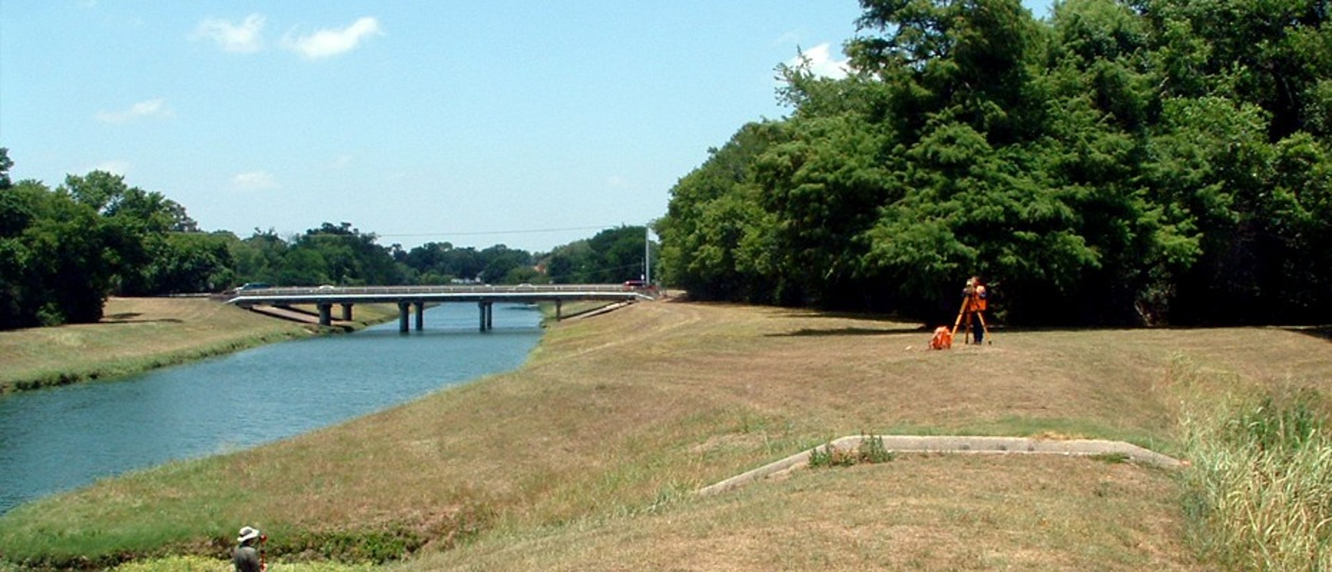
JAG Engineering provides professional land surveying services with emphasis on quality control, and timing of collected data for client projects and in-house civil design projects. The firm’s surveying team includes a Registered Professional Land Surveyor (R.P.L.S.), as well as field crews, and specialized technical personnel allowing JAG Engineering to serve clients more responsively.
JAG Engineering’s survey department has access to state-of-the-art equipment, including Trimble Real-Time Kinematic Global Positioning Systems, Electronic Total Stations, Trimble Robotic Total Station 5603, data collectors, and software products by Land Development Desktop, and Micro Station software and Geopak.
Services Include:
