Help Us Map Your Future

CIVIL ENGINEERING

  • Global Positioning System (GPS) Surveying

  • Horizontal & Vert. Control for Aerial Mapping

  • Monumentation

  • Design & Topographic Surveys ( 2D and 3D )

  • Preparation of Digital Terrain Model (DTM) and integrated plan & profile with Civil3D

  • Platting/Re-Platting Class 1, 2, & 3

  • Right-of-Way Mapping, Parcel Plats, right-of-way acquisitions, and Utility Easements

  • Construction Staking

  • Public and Private Utility Mapping

  • Subsurface Utility Engineering (SUE)

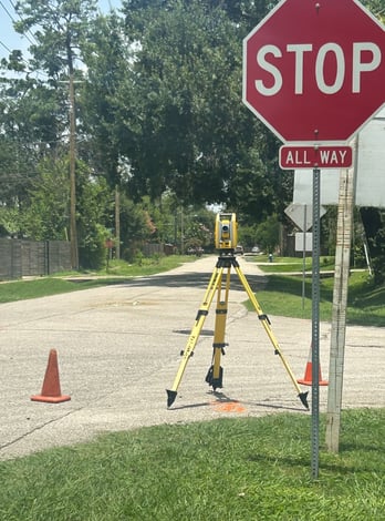
LAND SURVEYING

  • Design Development

  • Street and Highway Design

  • Intersection Design/Channelization

  • Signalization, Signing & Striping

  • Traffic Control and Construction Phasing

  • Alignment Studies

  • Land Planning

  • Hike and Bike Trail Design

  • Public Utilities Design

  • Hydrologic & Hydraulic Studies, Design and Analysis

  • Construction Cost Estimating

  • Scheduling

From platting, to surveying, JAG Engineering takes every project and models it from idea to finished product.

Below is a list of services we offer